
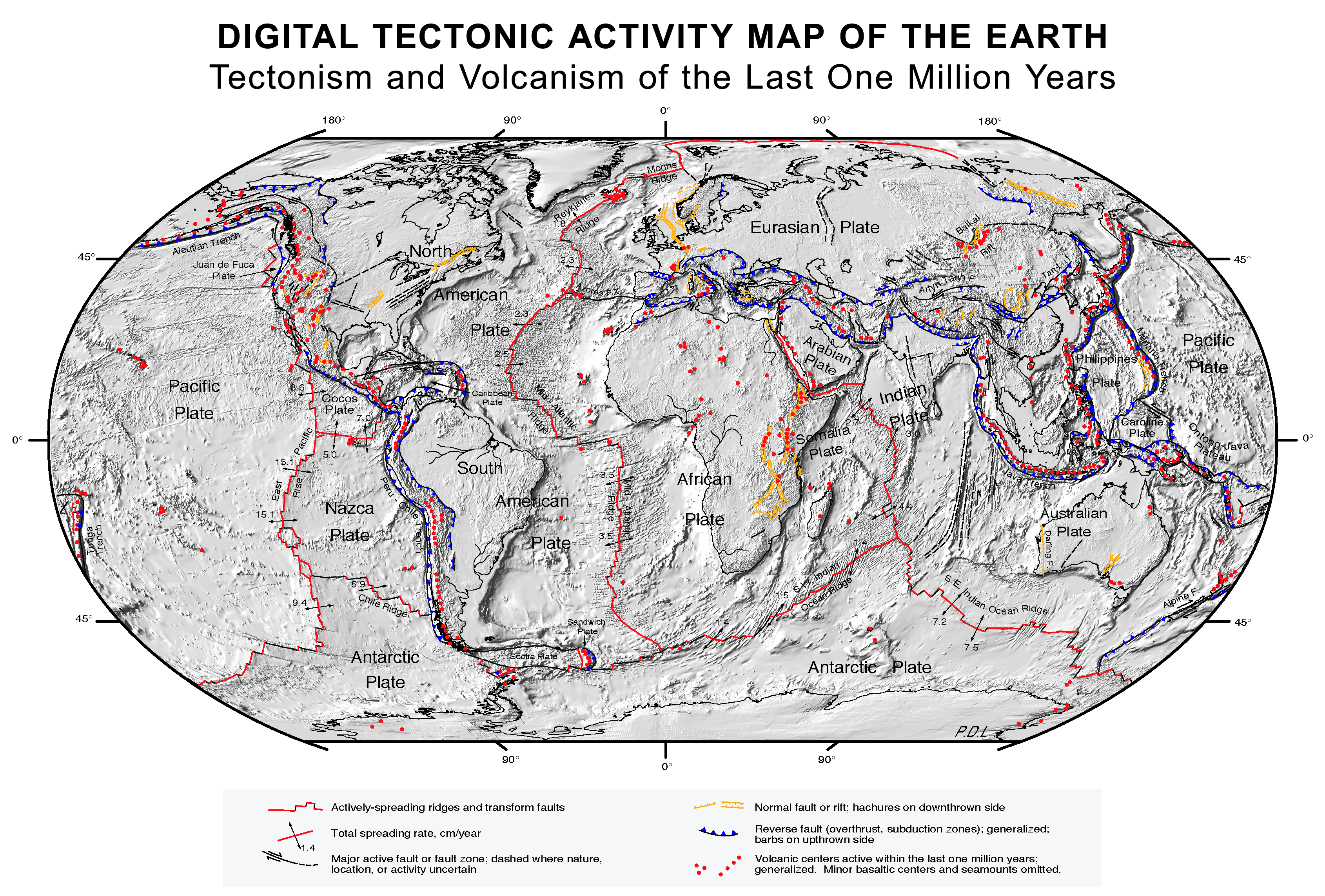
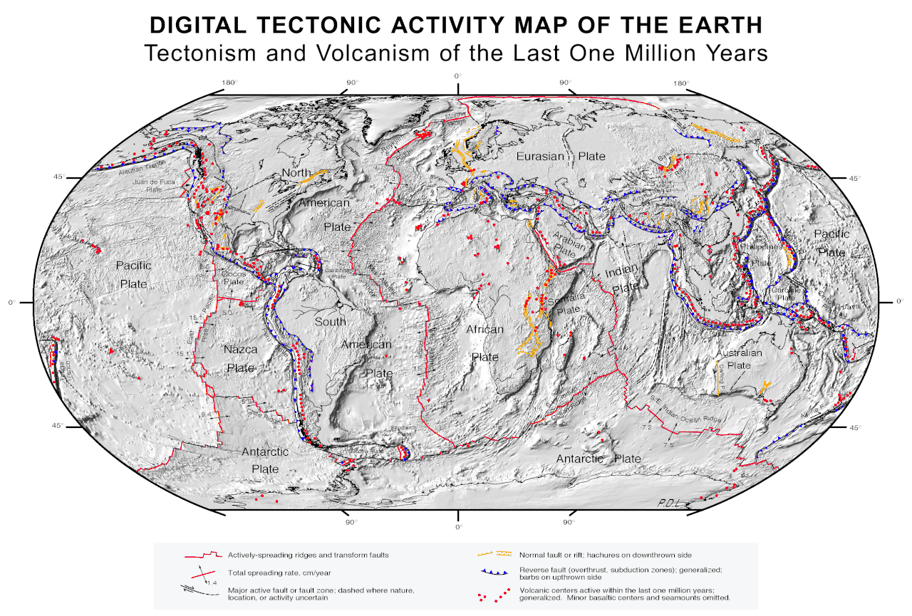
File:Plate tectonics map.gif
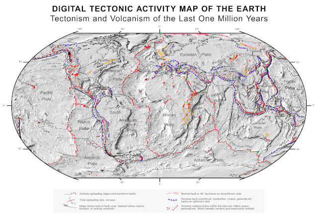
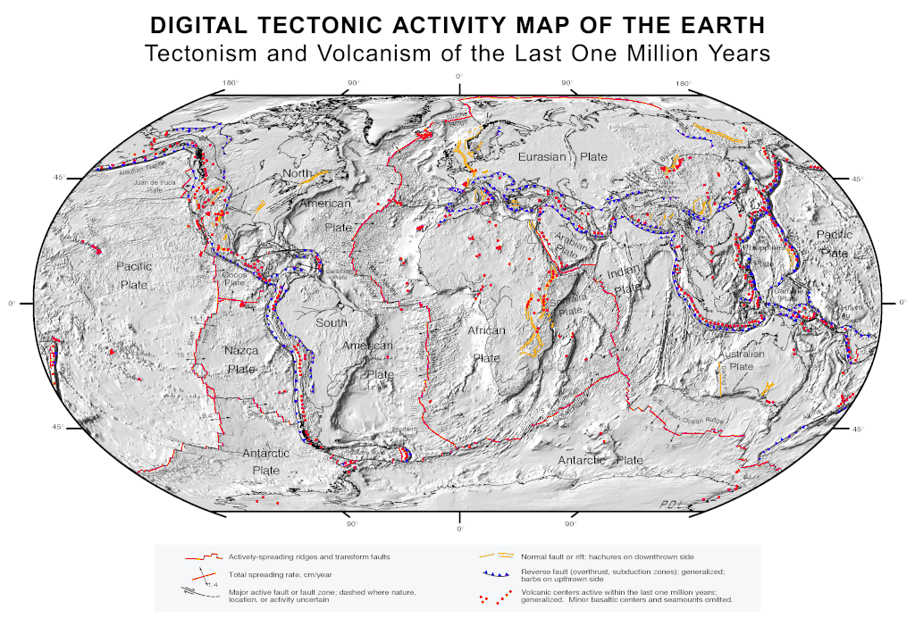
Size of this preview: 800 × 541 pixels. Other resolutions: 320 × 216 pixels | 640 × 433 pixels | 1,024 × 692 pixels | 1,280 × 865 pixels | 2,560 × 1,731 pixels | 3,380 × 2,285 pixels.
Original file (3,380 × 2,285 pixels, file size: 2.63 MB, MIME type: image/gif)
Summary
| Description |
English: Quake epicenters Digital Tectonic Activity Map of the Earth (DTAM): |
| Date | |
| Source |
|
| Creator |
NASA/Goddard Space Flight Center |
| Geotemporal data | |
| Spatial reference system | Robinson Projection |
| Georeferencing | If inappropriate please set warp_status = skip to hide. |
Licensing
| This file is in the public domain in the United States because it was solely created by NASA. NASA copyright policy states that "NASA material is not protected by copyright unless noted". (See Template:PD-USGov, NASA copyright policy page or JPL Image Use Policy.) | ||
 |
Warnings:
|
File history
Click on a date/time to view the file as it appeared at that time.
| Date/Time | Thumbnail | Dimensions | User | Comment | |
|---|---|---|---|---|---|
| current | 09:41, 26 August 2017 | | 3,380 × 2,285 (2.63 MB) | wikimediacommons>Nagualdesign | White background. |
File usage
The following page uses this file: